My daughter was not being picked up till 7pm so we had a rather late start from Bristol. As we drove up the M4 the fog descended and it was like driving onto the set of a horror film! We got to our parking spot at 9pm. As we'd planned a long route the following day we were keen to ascend our first top before we pitched camp.
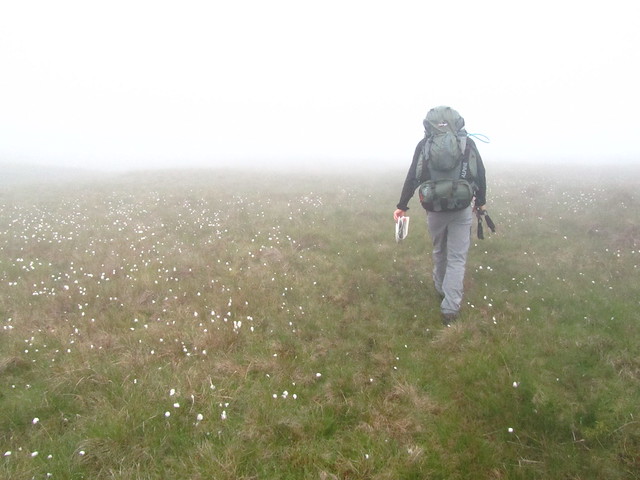
After not too long we soon reached the top of Garreg Lwyd, it was still ridiculously foggy so we got no views from the top. We both liked the rockyness of the area, although trying to balance on very slippery rocks with backpacks on your back is not easy!
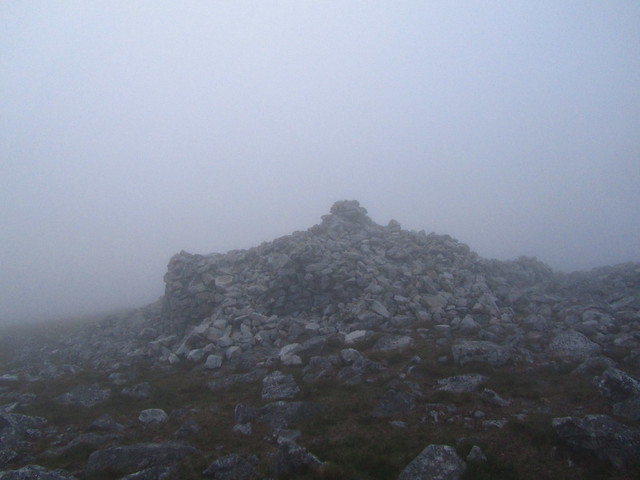
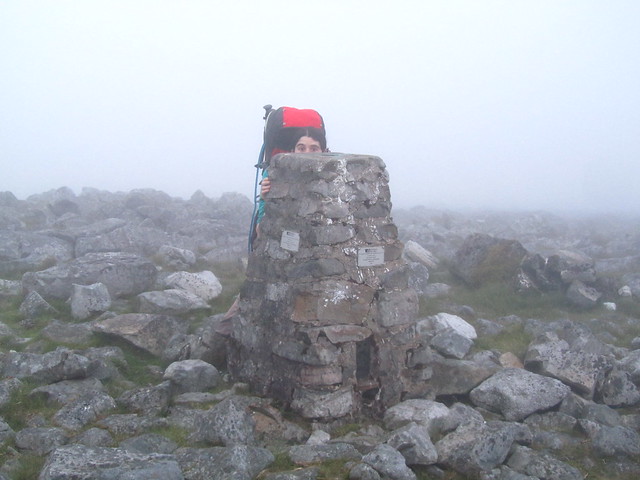
As you start at around 500m from the road I think it would be a good top to do with kids, or an ideal spot for a quick climb for sunset. We'd picked our a camping spot on the map where there was a small pool of water marked. Unfortunately this meant descending then reascending up another hill, Foel Fraith. Due to time and the fact we were both shattered we resorted to using my basic GPS to get to our spot by taking grid refs off the map and making our way to each point at a time. The last half hour of walking through boggy terrain in the dark was not much fun, we were both getting very wet as although not raining the fog was leaving water droplets everywhere.
The fog broke for a few seconds, but soon came back
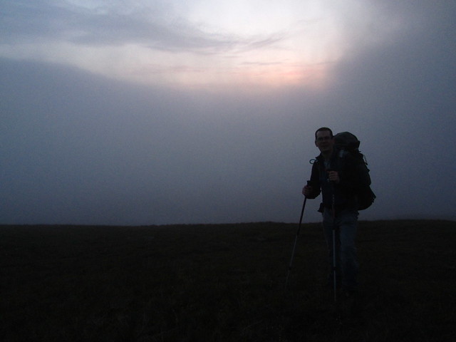
When we finally reached our 'pool' it was was dried up, we had a bit of a head scratch about where to camp as some of the ground was very stony, fortunately we found a flat dry heathery spot & Mike expertly put my small tent up. We didn't bother making a hot drink as it was around 11pm & we wanted to save our water for our route the next day.
I was worried the wind might pick up in the night as it was forecast to be windy the next day, luckily it didn't though and the night was very still. I was wide away and kept listening out for noises, most my wild camps have been next to streams and it felt odd not having the white noise to hide the strange noises of the outdoors. At one point I got up to go to the loo and could barely see beyond our tent, it was very eerie! Just I was getting off to sleep a skylark pipped up and preceeded to chirrup for the next few hours. I normally like the skylark song but it is very annoying when your trying to sleep!
We were greeted by more fog when we awoke in the morning, we quickly packed up and had a coffee/croissant & it was off to our next mountain Garreg Las.
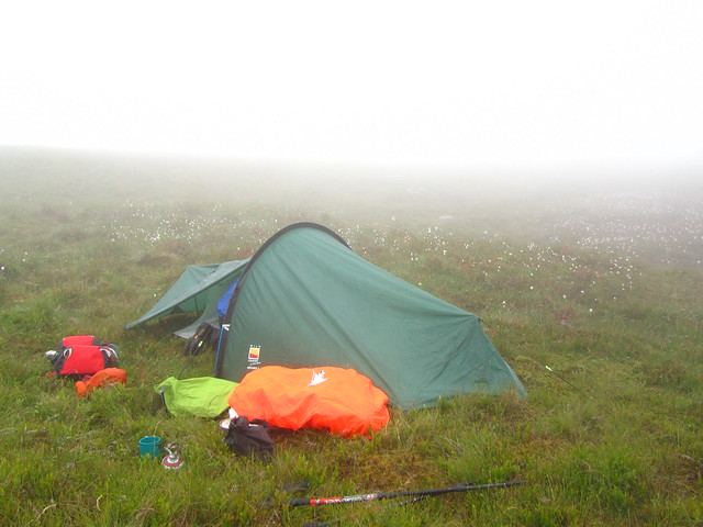
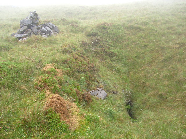
Our route to there was full of sink holes, there is also a cave up there, but we didn't cross the path of it's entrance.
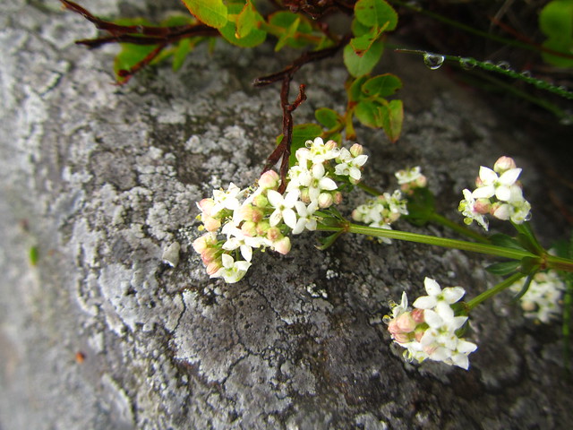
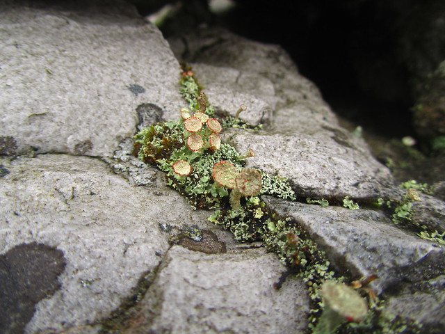
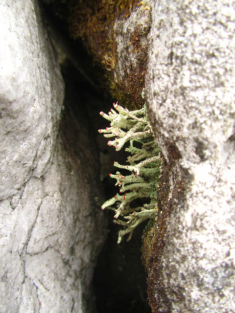
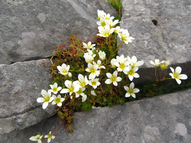
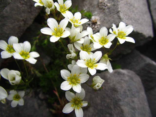
Despite the poor weather we were treated to some nice flora en route.

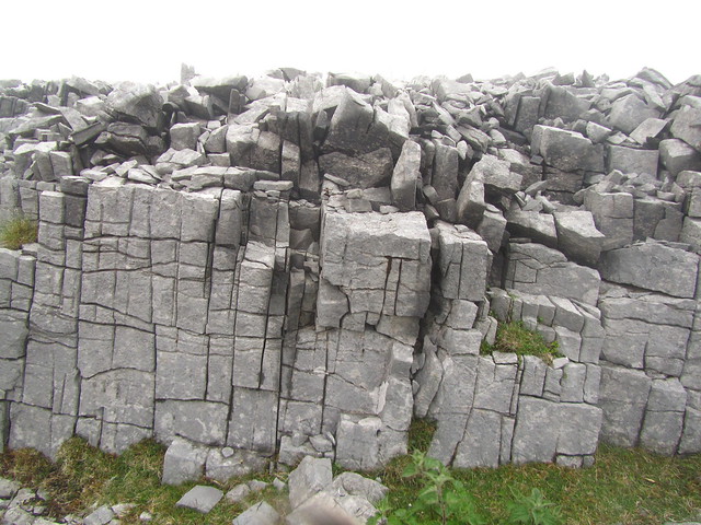
It was interesting to be walking among the limestone it felt more like North Wales than somewhere in the Brecon Beacons. We had a few boulder fields to cross which again had to be trod very carefully.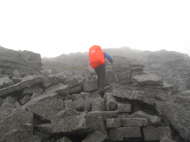

The long ridge leading to our top felt more like Yorkshire with all the exposed lime stone. It also had a faint path over it. We were both surprised at how easy going the terrain had been thus far, not too boggy which was a relief.
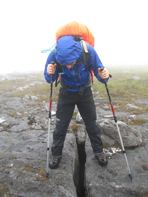
Our top had two big cairns on, one of them made an excellent shelter and we enjoyed a sit down out of the wind which was starting to pick up.
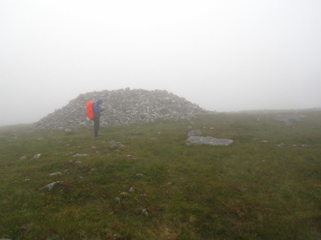
I got a bit excited about the lichen in the cairn
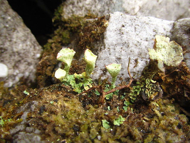
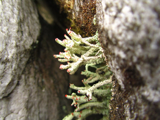
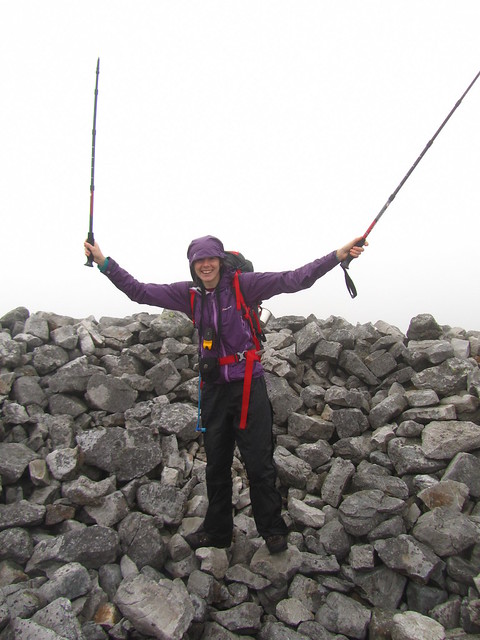
Pleased to have climbed my last mountain in the national park
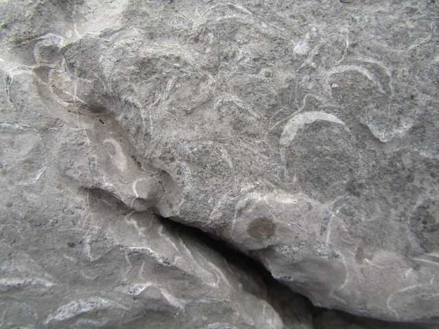
We followed a good path onto Cerreg Yr Ogof which was even more fascinating, really interesting geology and fossils all over the place. We found some nice fossilized corral and shells. I'd like to head back to this hill on sunny day as it struck me as more interesting than its mountain neighbors.
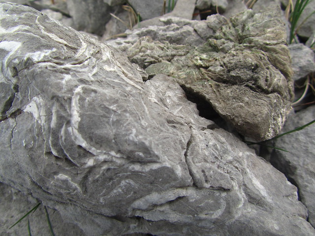
The top of Cerreg Yr Ogof
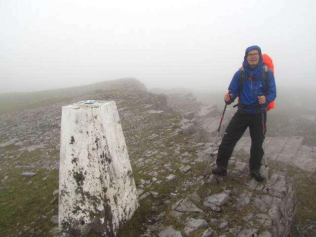
The next part of our route was to head across to get onto the ridge of Bannau Sir Gaer. I've been up there quite a few times and it is easily my favorite part of the Brecon Beacons. I was worried we'd be crossing pathless bog to get there, but we managed to follow faint paths/sheep tracks and the ground was reasonably dry despite the bog warning on the map. It was rather more windy on the top of the ridge, but the fog was lifting and treating us to views which were really impressive.
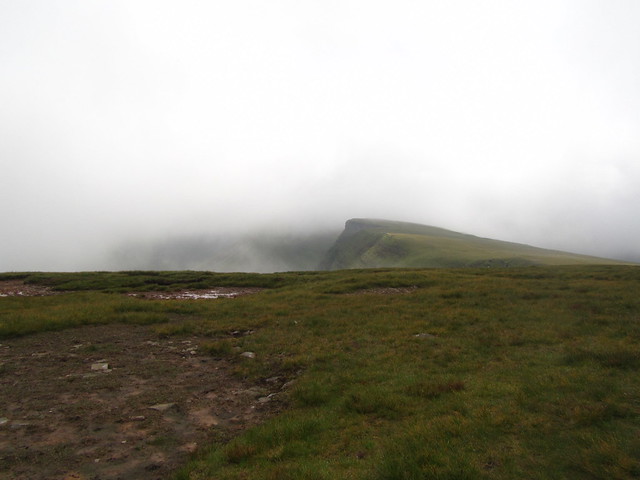
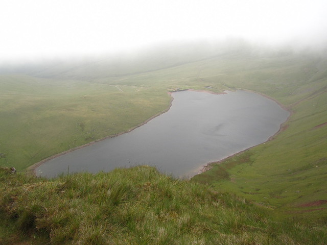
We had good views to Llyn Y Fan Fach which we would be walking to later.
We'd still not seen anyone and it felt good to have the area to ourselves.
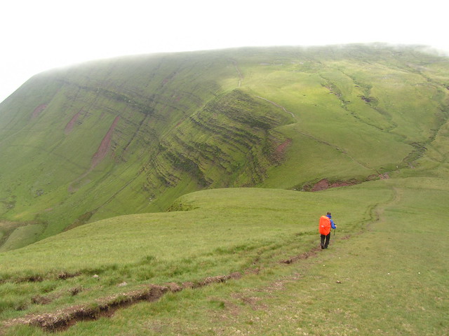

Our plan was to head down the nose of Fan Foel, I was disappointed we could not continue along the ridge, but to do that we'd have had a massive walk back to the car. We got battered by the wind as we descended down as it lived up to it's 40mph met office prediction.
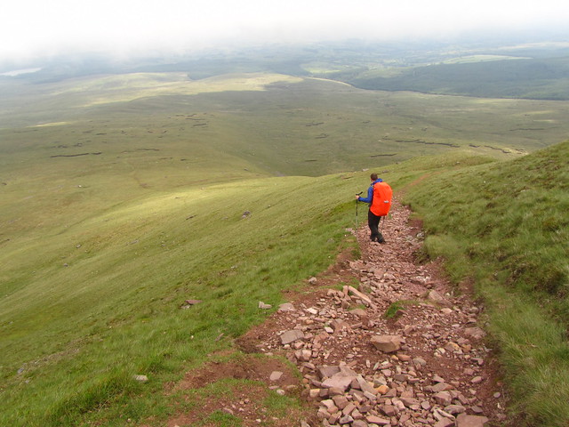
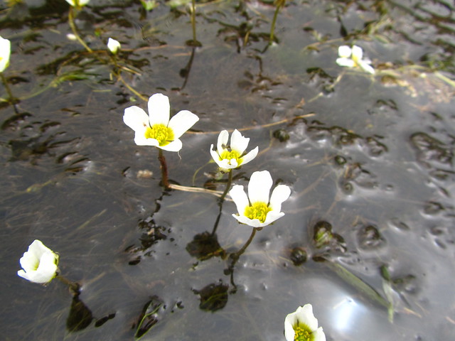
Once down off the nose we followed a high level sheep type path along the bottom of the escarpment, it gives a really nice feeling of exposure without too many nasty drops. As we reached the water leat near the bothy I stopped to photograph some really pretty flowers.
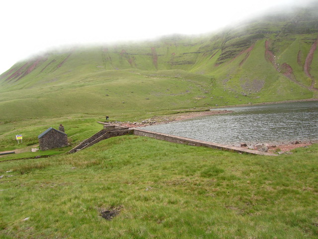
When we reached the bothy we took some shelter out of the wind to cook some noodles, for once the bothy wasn't full of rubbish which was nice, it did have allot of sheep poo on the floor though so the door must have been left open at some stage. You'd need a plastic sheet if you were planning on kipping in there! We saw a few more people around this area, taking advantage of the parking just down the valley and easy tracked route to the Llyn.
We looked at the map to decide on our route back to the car. We had planned to reascend to Carreg Yr Ogof to then descend to a path which would lead us back to the road near our parking area. Neither of us really felt like going back up high again so our tired brains picked a different route going along the bottom of the valley via footpaths, tracks and lanes.
After heading back up to pick up the Brecon Beacons way we then headed back down off the hill. We were both surprised that there wasn't really a very clear path on the ground, we did pick up a clearer one as we got down though. We enjoyed some well sign posted lower level walking for some time.
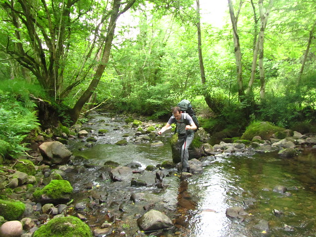
The going soon became trickier though, although we were certain of our location we could not find the crossing point of the river (marked as weir/ford on the map) we gave up hacking through the undergrowth and crossed the river, with me getting a boot full of water. All our paths after this point were ambiguous and overgrown with plenty of field gates to contend with.
Our second river crossing
My legs were exhausted and I was starting to get worried we would not get back to Bristol for 7 which was when my daughter was being dropped home. I grabbed my phone to send a text to check if my parents could have her dropped at their house, we had no phone signal so I let it send and hoped it would go through as we reascended the valley on the otherside. Despite being shattered I didn't want to stop as knew I needed to get the text to send as soon as possible.
The last few hours of walking were an endurance challenge, the only thing which kept me going was chomping on the cereal bars/chocolate bars I had bought. Just when I felt I had no energy left we reached the road back to the car and had another 400m of re-ascent back up to it. Winding our way up the road was horrendous, I got fed up with it in the end and we branched off to head straight up the hillside, it started to rain at this point and the rain mixed in with my tears of exhaustion. Even when we topped out we still had another 15 minute slog along the road. The fog had descended again so we didn't even have a visual clue of where the car was. We finally made it to the car at 6.40pm after nearly 12 hours of solid walking. We mapped the route when we got home and had done 3 miles ish on the Friday night and 18 miles on the Sunday, it was no wonder we were so tired! Probably one of the hardest walks I've ever done, especially with the weight of the wild camping gear. A lesson in taking more car at re planning a route on the fly!
Donate for our challenge walk in August here:
impressive distance, and the photographs are really good. I really like your lichen and flowers, they are so pretty.
ReplyDeleteHi Ruth, another epic training walk. I was up on these hills backpacking with my son two weekends go and like you I really liked those western limestone mountains (my first time as well). I really like the main Black Mountain ridge - been lucky enough to have some really good weather the last few times I've been up there. Best of luck with the challenge in August :)
ReplyDelete